Getting there
- Flights to Portland (PDX) 75 km from the start
Treks / USA (Oregon)
USA (Oregon) · Nearest city: Portland
A loop around Mount Hood through alpine meadows and across glacial rivers.
Watch out: Glacial river crossings are highest in the afternoon. Cross early in the day.
It circles Oregon's highest peak through wildflower meadows and glacier-fed streams.
Some of these are affiliate links: if you book through them we may earn a small commission, at no extra cost to you. We only list services that fit this trek.
Roaming in USA is expensive on most phone plans. A data eSIM bought before you fly gets you online as soon as you land.
Expect long stretches with no signal on the trail. Download offline maps and our GPX before you start.
This trek reaches 2,300 m, and many policies stop covering hiking at 2,000 to 3,000 m unless you add an activity upgrade. World Nomads needs its Level 3 activities above 2,000 m, Heymondo its Adventure add-on above 3,000 m, and SafetyWing's Nomad Insurance covers trekking up to 4,500 m.
Rescue is not the same as evacuation. Travel insurance usually pays to fly you to hospital, but not always for the search and rescue itself. Read the policy's "search and rescue" section.
True Traveller sells only to UK and EEA residents. Always check the altitude limit and your country of residence in the policy wording. Our trekking insurance guide explains what to look for.
In national parks, overnight stays need a wilderness permit and camping is often limited to designated sites. On most national forest and BLM land, dispersed camping is allowed.
Rules change and differ between parks. Check with the local park or tourist office before you pitch a tent.
Map layers load on the live site. Use the overview below meanwhile.
Trail from OpenStreetMap (64.5 km) Start / finish Stop on the way Nearest city
Switch between Topo, Satellite and Street layers with the layer button, and turn on the marked hiking trails overlay. The trail line is the OpenStreetMap hiking route and may differ from the variant you choose. Always carry a proper hiking map on the trail.
Stops: Timberline Lodge → Mount Hood
Best time: August to September
July
Lingering snow at higher elevations and high, cold rivers. Wildflowers start in the meadows.
Bring
August
The most reliable weather and peak wildflowers, but wildfire smoke can affect air quality.
Bring
September to early October
Golden larches, fewer bugs and crisp days, but early storms and colder nights.
Bring
You'll ford rivers without bridges. Cross early in the day when levels are lower, unclip your hip belt, and use poles. Bring sandals or light shoes for crossing.
Early in the season, snow can cover the path on high ground. Microspikes or crampons and some experience make these sections safer.
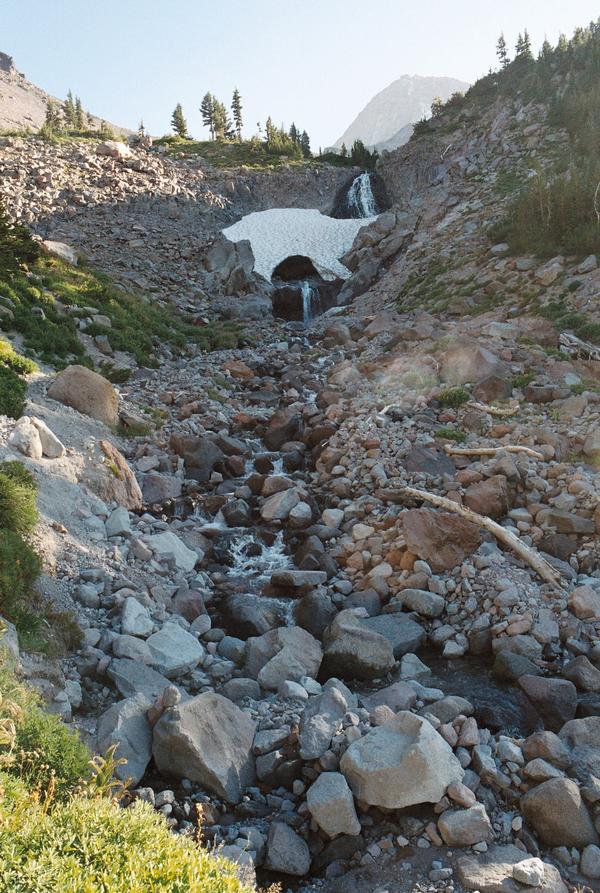
7 photos taken on and around the route by Wikimedia Commons photographers. Tap one to see it bigger.
Photo credits: Timberline Trail north side by Lipstick Kleenex, Public domain, via Wikimedia Commons; Oregon Mount Hood from Trillium Lake by Kevin Crosby, CC BY-SA 2.0, via Wikimedia Commons; Timlodge by Kelvin Kay, Kkmd at en.wikipedia, CC BY-SA 3.0, via Wikimedia Commons; Mount Hood, United States by Andrew Coelho andrewcoelho, CC0, via Wikimedia Commons; View near Mount Hood by Oregon Department of Transportation, CC BY 2.0, via Wikimedia Commons; Timberline sunset, Oregon - Flickr - Bonnie Moreland free images by Bonnie Moreland from Oregon, United States, Public domain, via Wikimedia Commons; Timberline Lodge to Palmer ski tour May by Buidhe, CC BY-SA 4.0, via Wikimedia Commons. Photos resized for the web. Figures are approximate and vary with the variant you choose.


.jpg)
.jpg)
.jpg)
_(13371).jpg)